
Services
4 Services. 1 Firm.
Survey, modeling, takeoffs, and grading audits, all under one firm, all built in the same software your engineer designed in.
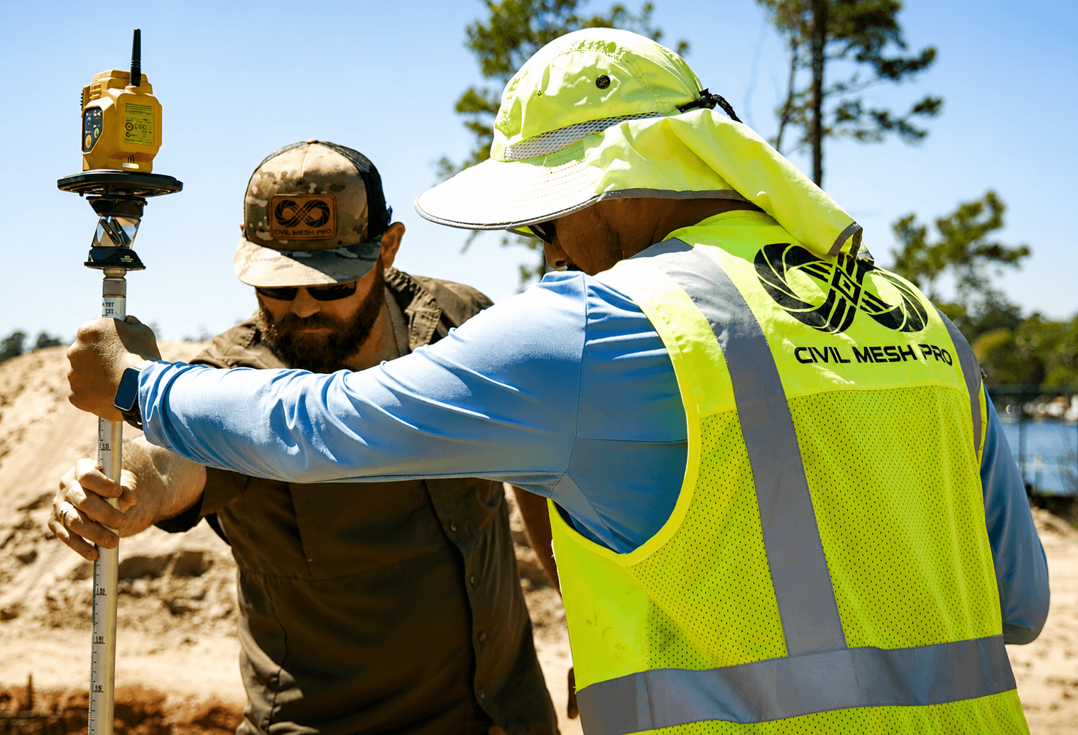
Boots in the Dirt on Every Site.
Real crews, real GPS gear, on residential, commercial, industrial, and everything in between.
Machine Control Modeling
The 3D surface file your dozer, grader, or excavator loads to cut and fill directly to design: no stakes, no guesswork, no waiting on a survey crew mid-job.
- ✓ Built in Civil 3D, the same platform your engineer designed in
- ✓ Ready for your base/rover GPS setup, data collector, and machine control system
- ✓ Compatible with Trimble, Topcon, Leica, Cat Grade, Komatsu IMC
- ✓ Revision turnarounds for change orders included
Reporting and Takeoffs
Cut-and-fill quantities, net import/export, and bid-ready numbers, built by people who live in your engineer's software, not a generic takeoff tool.
- ✓ Net import/export summary for hauling decisions
- ✓ Bid-ready PDF plus editable source files
- ✓ Fast-turn revisions as plans change
Construction Surveying
Sealed topographic, staking, control point, boundary, and as-built surveys. Every field deliverable is signed under our firm.
- ✓ Licensed oversight on every deliverable
- ✓ Staking, control points, boundary, topo, and as-builts
- ✓ Same-week scheduling in Houston, San Antonio, Austin, and Dallas
Grading Plan Audits
An independent look at the grading plan before you move a yard of dirt. We make plans tighter so your contractor and your client are happier.
- ✓ Independent RPLS review
- ✓ Conflict list with proposed corrections
- ✓ Delivered before mobilization, not after
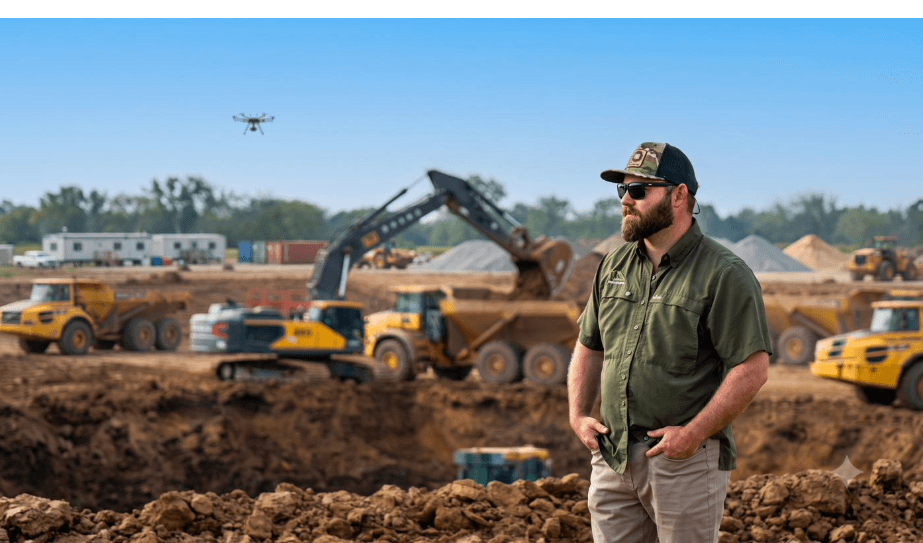
Every Type of Site
Land We Work On, Land We Know
From subdivisions to well pads, we've built the workflow for whatever's on your plat.
Residential Subdivisions
Topo, grading, and takeoffs for single-family and multi-phase developments
Commercial Developments
Site surveys and machine control for retail, office, and mixed-use builds
Industrial Sites
Grading audits and earthwork takeoffs for warehouses and distribution centers
House Pads
Staking and topo for individual home pads and custom builds
Oil & Gas Locations
Well pad surveys and site prep modeling for energy operators
Agricultural & Poultry Farms
Grading and drainage takeoffs for poultry houses and ranch land
Multi-Family Housing
Site surveys and grading plans for apartment and townhome communities
Roadway & Public Infrastructure
Sealed topo and takeoffs for municipal and roadway projects
Frequently Asked Questions
What's included in a machine control model?
A 3D surface file and linework built in Civil 3D that your dozer, grader, or excavator loads to cut and fill directly to design, compatible with Trimble, Topcon, Leica, Cat Grade, and Komatsu IMC. Revision turnarounds for change orders are included.
How is pricing determined for each service?
Pricing depends on site size, complexity, and how much field time is required. The prices listed on this page (like $1,850 avg for machine control modeling) reflect typical jobs, request a quote for an exact number on your site.
What software does Civil Mesh work in?
Civil 3D, the same platform most civil engineers design in. That means no format translation and no rework when our models meet your engineer's plans.
How fast is turnaround?
Most machine control models and earthwork takeoffs turn around in 3 to 5 business days. Construction surveying is scheduled around your crew, and grading plan audits typically take 5 business days.
Can Civil Mesh handle revisions after a change order?
Yes, revision turnarounds for change orders are built into our machine control modeling service, and fast-turn revisions are included with earthwork takeoffs as plans change.